Arctic Ecohydrology & Remote Sensing
Environmental Data Science
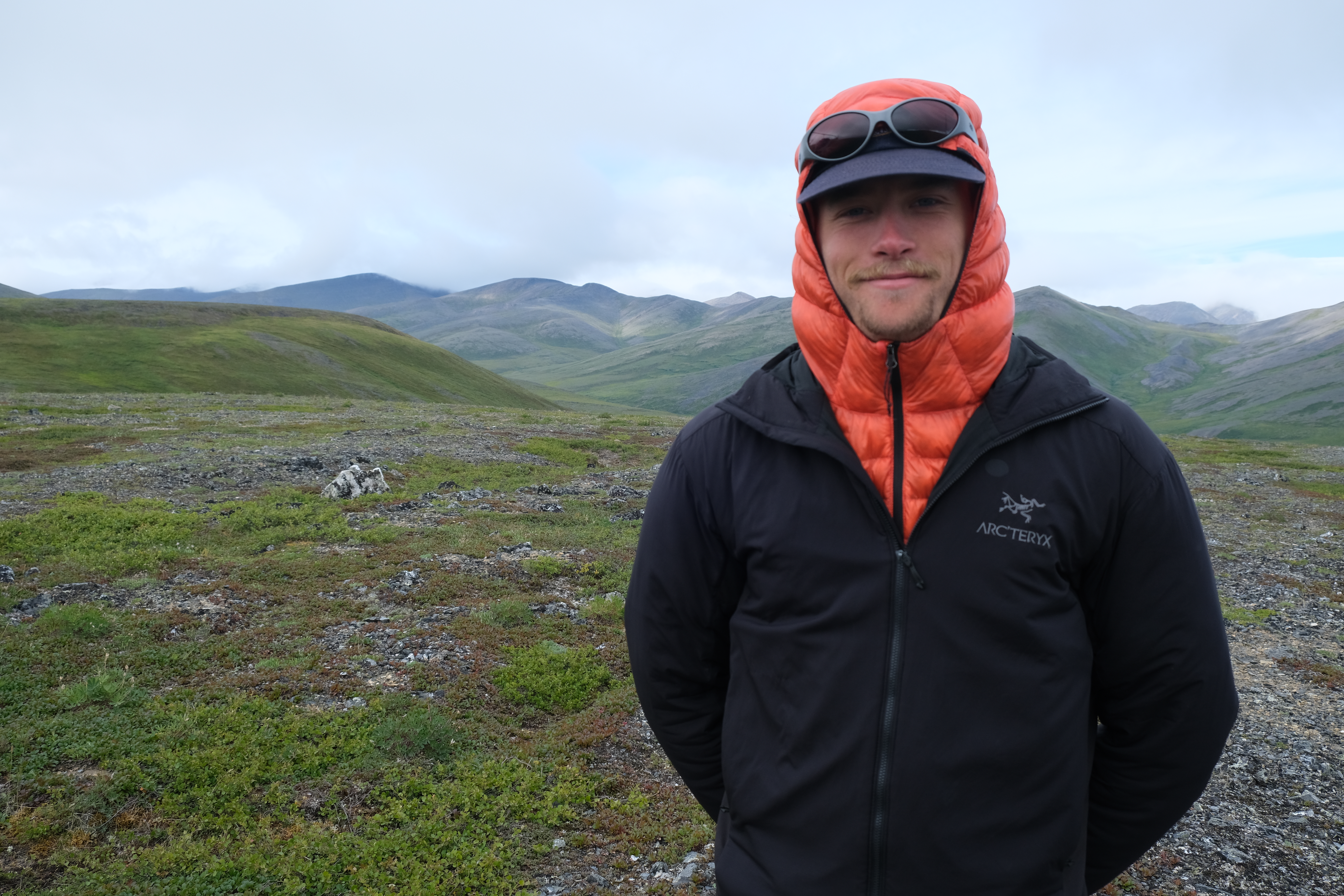
I am an early career ecohydrologist and remote sensing scientist interested in the drivers of physical and ecological change in the Arctic.
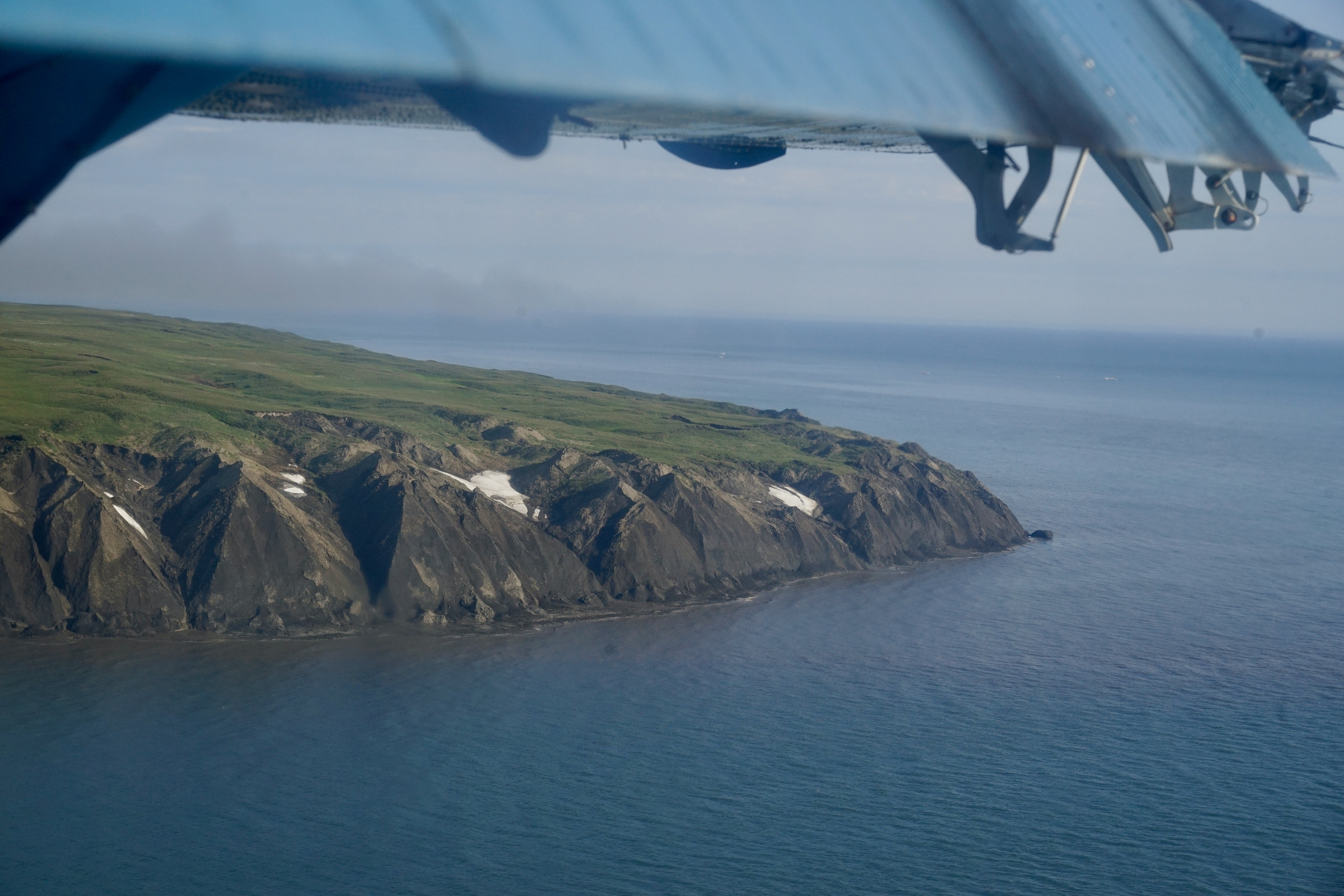
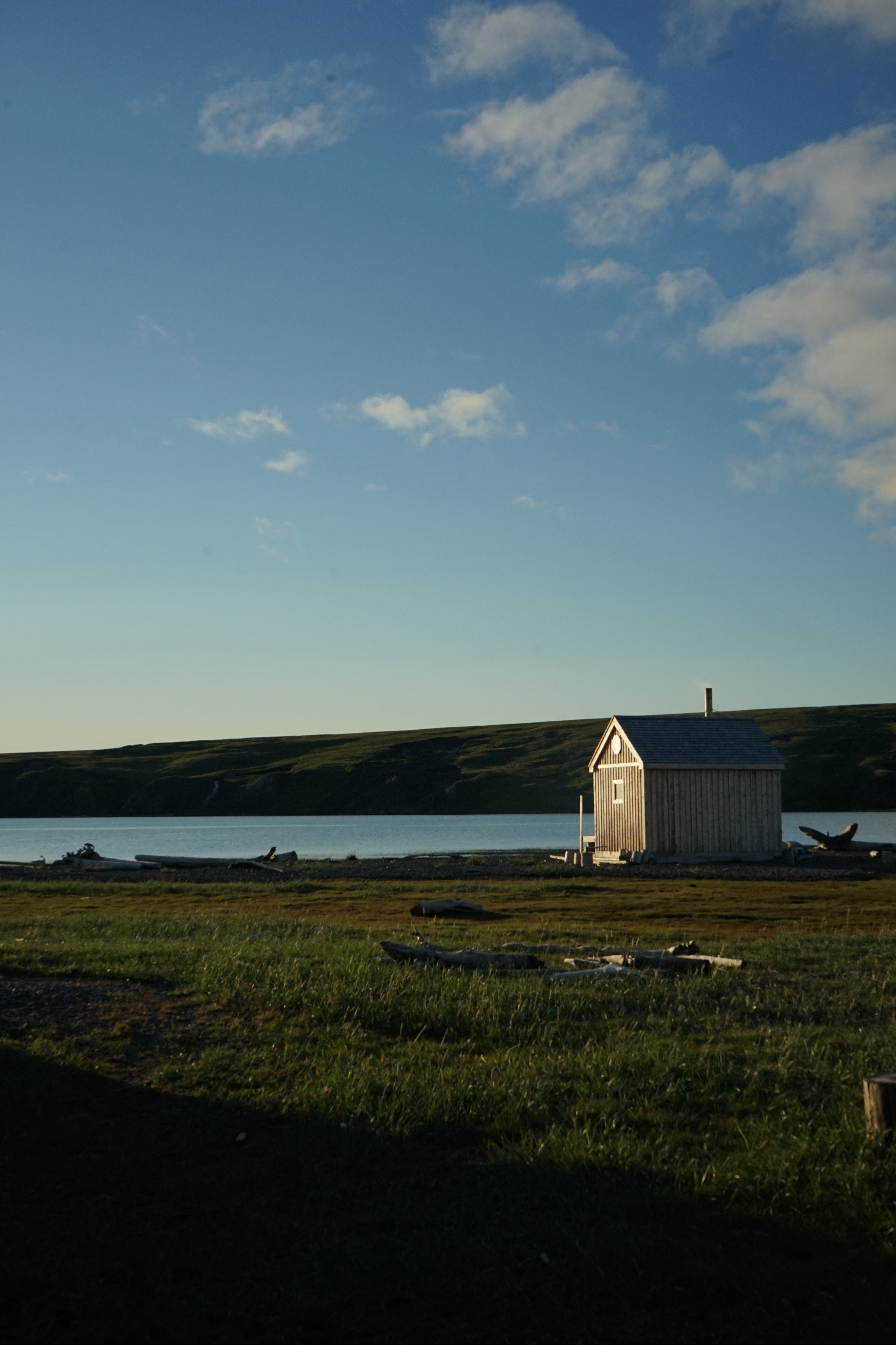
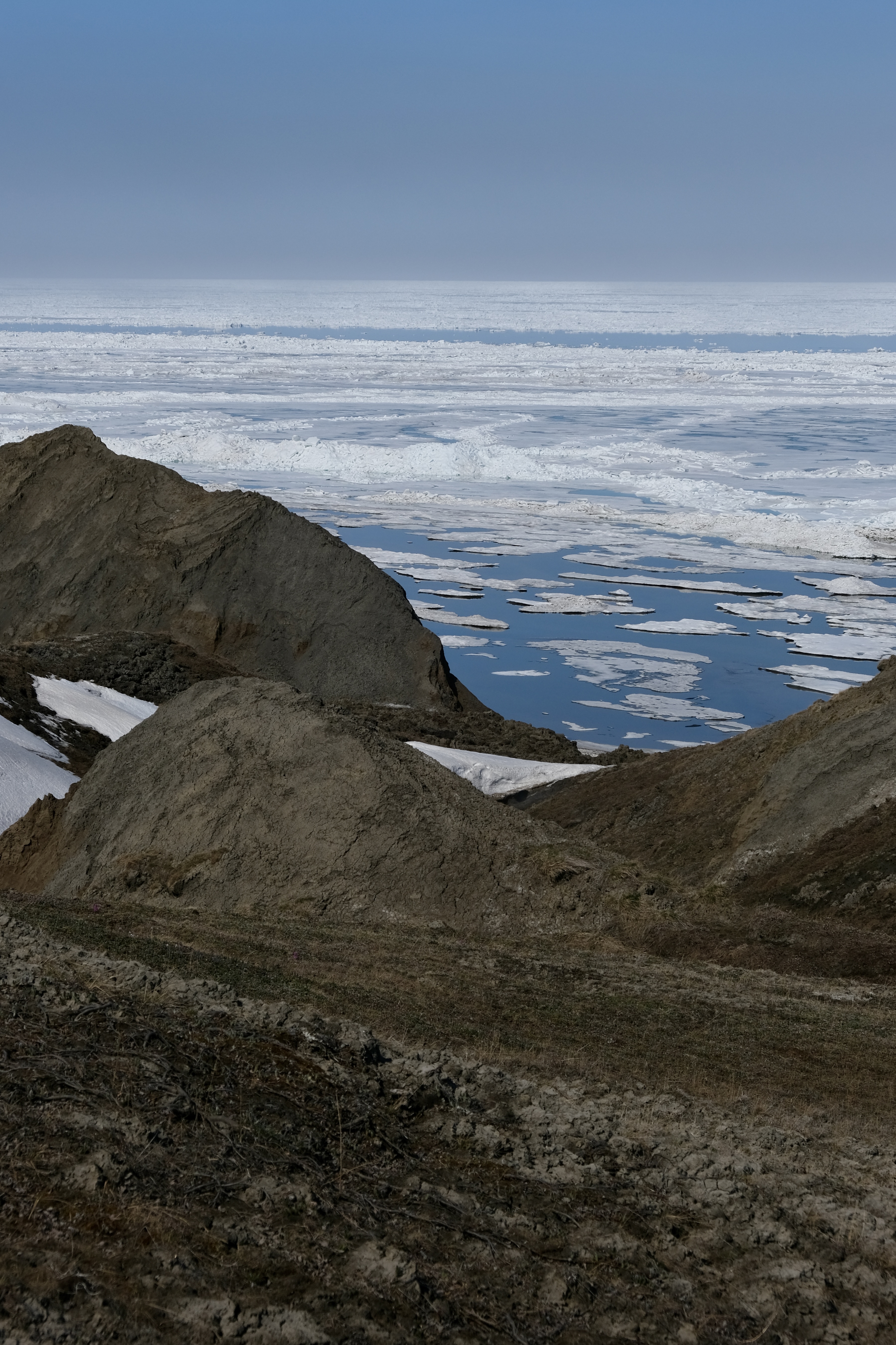
Currently, I am a MSc candidate at UBC with Team Shrub (Dr. Isla Myers-Smith). My thesis captures the local drivers of coastal flooding and erosion on Qikiqtaruk (Herschel Island) using in-situ pressure sensors and 3D drone photogrammetry.
I am an avid photographer and user of drones, interested in capturing changing landscapes, science-in-action, natural areas and cultural history.
I am honoured to be a Weston Family Northern Scientist, a Royal Canadian Geographic Society Scholar, and an awardee of the Canadian Graduate Research Scholarship (MSc).

Capturing flood and erosion dynamics using in-situ monitoring on Qikiqtaruk (Herschel Island, Yukon).
Deploy and maintain in-situ flood sensors to record water level, salinity, and storm dynamics across Qikiqtaruk's coastline.
Translate field data into actionable findings for Yukon Parks and Inuvialuit partners managing the island's cultural and ecological heritage.
Build a replicable in-situ monitoring framework for remote Arctic coastlines where continuous satellite observation is limited.
Support the Coastal Flood Alerting and Prediction program at Environment and Climate Change Canada with high-resolution field observations.
// Introductory video — Weston Family Foundation
Verkaik et al. (2025) — Journal of Geophysical Research: Biogeosciences